Skip to content

Have you ever wondered how the world transitioned from using flat maps to globes? While there are romantic tales of Christopher Columbus sailing to the New World to prove that the Earth was a sphere while simultaneously searching for new routes to India, this is not the whole story. In fact, globes have existed for much longer, although they were only widely used during the Age of Discoveries in the 15th and 16th centuries. Flat maps, on the other hand, have been around since Babylonian times.
The First Flat Maps to Globes
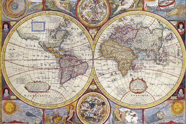
Since the dawn of society, humans have had the desire to map the world around them. Early maps not only depicted geographical locations but were also heavily influenced by the belief systems and religions of the time. Religiously significant cities were often portrayed as the center of the world.
Before the maps we know today, the Babylonians created the first known world maps on clay tablets. The oldest known map was created around 600 BC and shows Babylon and the nearby Euphrates River as large squares in the center, with round shapes at the edges representing Assyria and Susa. Further triangular shapes are displayed even farther from the central area to represent unknown lands and mysterious societies. These were vaguely named ‘beyond the bird flight’. It is said that these lands were inhabited by mythical creatures and dangerous animals, indicating that cartographers linked both geographical concepts with legends and beliefs of the time.
Greek cartography was perhaps the most sophisticated of the ancient worlds. It is believed that the first globe was created by Crates of Mallus, a Greek philosopher from present-day Turkey. No copies of his globe have survived, but later authors described it as spherical. Even earlier, in the 6th century BC, Pythagoras predicted that the world would indeed have a round shape. His theories were later proven true by Aristotle in his astronomical studies.
The First Surviving Globes
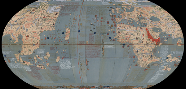
Although Christopher Columbus cannot be credited with the realization that the Earth is round (as the Greeks had established this hundreds of years earlier), the first surviving globe was created in the 15th century as he prepared for his journey to the New World. It was created by Martin Behaim, a German geographer and explorer of that time. His globe (see image above) was referred to as the Erdapfel, which translates to ‘Earth apple’. The globe still exists today but is protected by German authorities. The globe was made based on the understanding of the Earth at that time and does not include the continents of North or South America, Antarctica, or Australia.
Just a few years later, another of the oldest surviving globes emerged – the present-day Hunter-Lenox globe. It was created in 1510 and belonged to Richard Morris Hunt, who reportedly bought it in France and brought it to America in 1855. He later gifted it to James Lenox, a bibliophile whose entire collection was eventually donated to the New York Library Rare Book Division, where it can be viewed by visitors who wish to schedule an appointment in advance. Although it is more accurate than the Erdapfel as it includes South America as a continent, it still did not match some key details. It depicts the North American continent as a series of scattered islands.
The globe bears the words ‘Here be Dragons’ engraved as a warning that terrible things lurk beneath the waters of the oceans.
The exact origins of the Hunter-Lennox are unknown, although it is associated with an ostrich egg globe from 1504 – the only other known globe that contains the phrase ‘Here be dragons’. It is believed that the globe may be a cast of the egg sketch globe. Others speculate that it could be attributed to Leonardo Da Vinci, as the artwork is very similar to his style and that of his contemporaries. Many speculate that it was commissioned by a wealthy family in Italy to create the map, as many rich families of that time owned ostriches.
Wherever it came from, both the Hunter-Lennox and the Erdapfel prove that scientists of that time were aware of the true shape of the Earth long before Columbus set sail for the New World.
Why Globes Are Superior to Flat Maps
Have you ever wondered why a globe is superior to a flat map? The reasons should be obvious, as the Earth is a sphere, just like a globe. This leads to a much less distorted view of the Earth’s surface and allows for far more useful measurements. Early globe makers likely created the first globes to represent land masses and their distances more accurately as they learned more about the Earth during the Age of Discoveries in the 15th and 16th centuries. Exploration and conquest of new territories were of utmost importance to societies of that time, and an accurate method of measuring the Earth’s surface would have been of great significance.
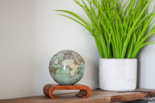
Even today, globes are still used and remain an important part of our lives. Although we now have computerized maps and satellite navigation systems, a traditional globe is still one of the most effective tools for teaching geography to children and new enthusiasts. They are easily accessible and come in various sizes. They are also lightweight, allowing students to easily rotate and view different land masses as the globe turns, creating a three-dimensional view of the Earth and all its features.
Today’s globes are also a simple, elegant, and straightforward way to appreciate the beauty of the Earth. Decorative globes are a unique decor option that can provide a realistic view of the Earth from space or celebrate the history of cartography, astronomy, and world exploration.